4.9/5
( 316+ reviews)
Features LRIS GOA
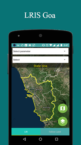
LRIS Goa (Land Resource Information System) is android based mobile application.
This is a GIS (Geological information system) base application which uses Esri map which works for goa state only.
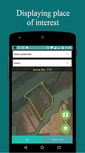
This application provides the graphical information of the goa state and also shows multiple layers State Boundary, District Boundary, Taluka Boundary, Panchayat Boundary and Cadastral Boundary.
🛡️
Secure & Private
Your data is protected with industry-leading security protocols.
💬
24/7 Support
Our dedicated support team is always ready to help you.
⭐
Personalization
Customize the app to match your preferences and workflow.
Screenshots
See the LRIS GOA in Action

Get the App Today
Download on Google Play
Available for Android 8.0 and above